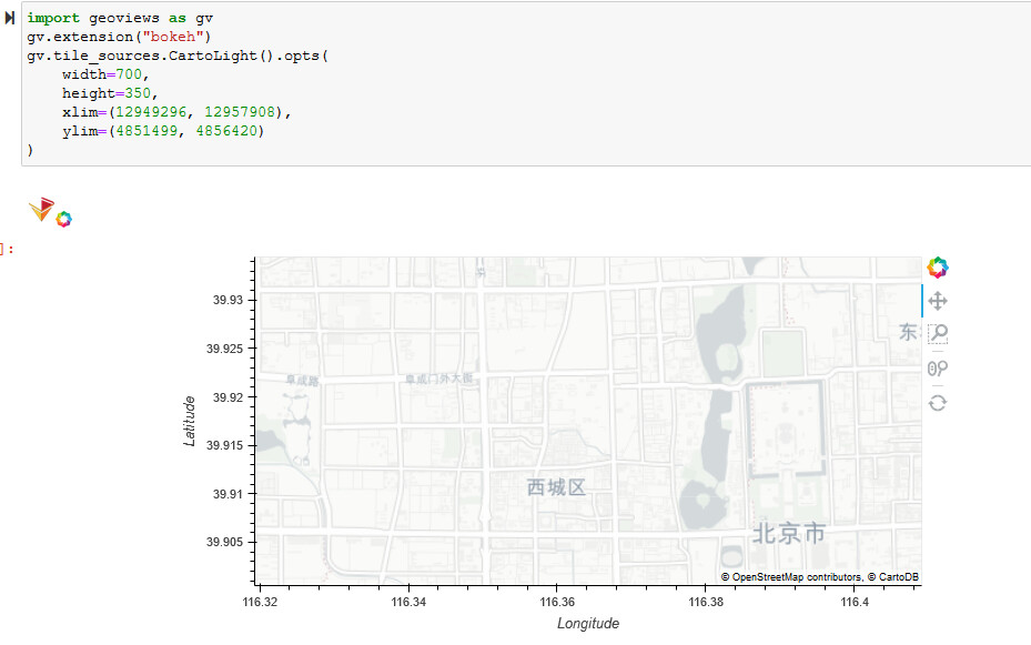
Are you trying to set the initial map extent while still allowing the ability to pan/zoom outside of that initial extent?
import geoviews as gv
gv.extension("bokeh")
gv.tile_sources.CartoLight().opts(
    width=700,
    height=350,
    xlim=(12949296, 12957908),
    ylim=(4851499, 4856420)
)
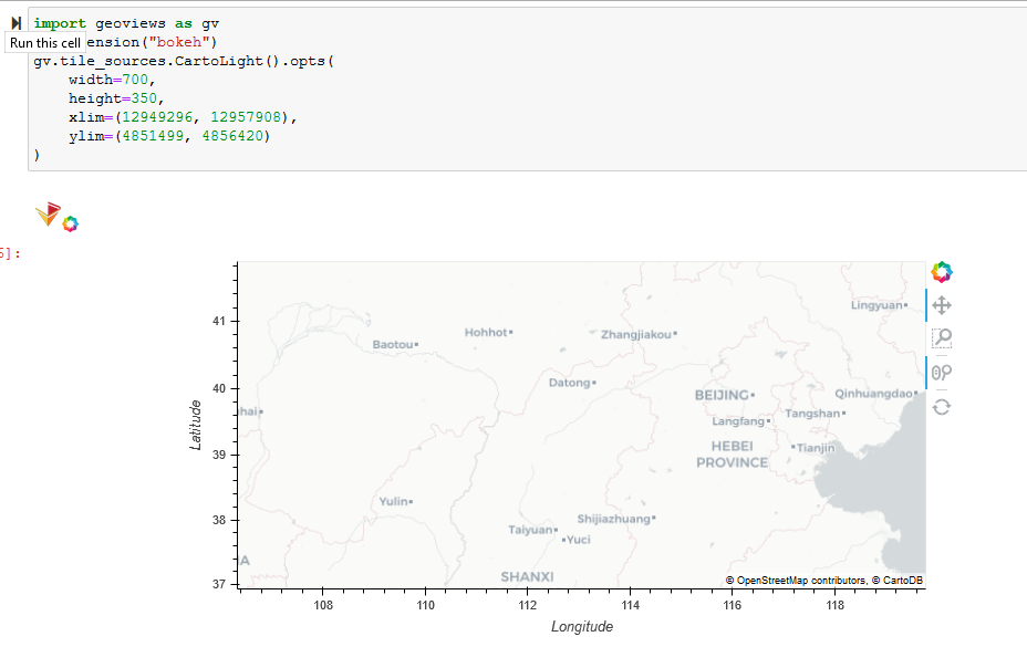
I can’t make a .gif but this is the same plot zoomed out.