Geoviews.labels DataError: None of the available storage backends were able to support the supplied data format

I am trying to add labels on top of my geoviews scatterplot. I am getting this very undescriptive error message when I do so.

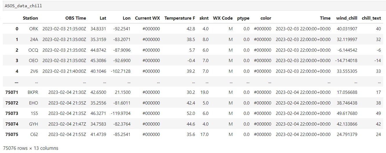
The origional dataframe is a pandas dataframe that looks like this:

ASOS_dataset_chill = gv.Dataset(ASOS_data_chill, kdims=['Lat','Lon','Time'],vdims= 
['Station','OBS Time','wind_chill','Temperature F','sknt','chill_text'])

ASOS_points_chill = ASOS_dataset_chill.to(gv.Points, ['Lon','Lat'],['Station','OBS 
Time','wind_chill','Temperature F','sknt','chill_text'])

(gv.tile_sources.OSM  *  ASOS_points_chill * gv.Labels(ASOS_points_chill,vdims=['chill_text']).opts(
text_font_size='8pt', text_color='white').opts(
opts.Points(frame_width=2000, frame_height=1200, size=20, color='wind_chill', axiswise=True, cmap=cmap_temp, colorbar=True, clim=(-60,130), colorbar_opts={'ticker': ticker},  tools=['hover'])))

Can you share a minimal, reproducible example (MRE)?

In general, a complete script can be copied/pasted and immediately run as-is with no modifications. This is much more useful than snippets.

My apologies, here is an MRE with sample data, @Hoxbro

import pandas as pd
import geoviews as gv

gv.extension('bokeh', 'matplotlib')

data = [
    ['ALB', '2023-02-04 02:51:00Z', 42.7576, -73.8036,  '2023-02-04 03:00:00+00:00',  '-31'],
    ['ALB', '2023-02-04 03:51:00Z', 42.7576, -73.8036,  '2023-02-04 04:00:00+00:00',  '-33'],
    ['ALB', '2023-02-04 04:51:00Z', 42.7576, -73.8036,  '2023-02-04 05:00:00+00:00',  '-34'],
    ['ALB', '2023-02-04 05:51:00Z', 42.7576, -73.8036,  '2023-02-04 06:00:00+00:00',  '-33'],
    ['ALB', '2023-02-04 06:51:00Z', 42.7576, -73.8036,  '2023-02-04 07:00:00+00:00',  '-28'],
    [ 'ALB', '2023-02-04 07:51:00Z', 42.7576, -73.8036,  '2023-02-04 08:00:00+00:00',  '-31']
]

df = pd.DataFrame(data, columns=['Station', 'OBS Time', 'Lat', 'Lon', 'Time', 'chill_text'])


dataset = gv.Dataset(df, kdims=['Lat','Lon','Time'],vdims=['Station','OBS Time','chill_text'])

points = dataset.to(gv.Points, ['Lon','Lat'],['Station','OBS Time','chill_text'])

labels = gv.Labels(points,kdims=['Lon', 'Lat'],vdims='chill_text').opts(
    text_font_size='8pt', text_color='white')

(gv.tile_sources.OSM  *  points * labels.opts(
    opts.Points(frame_width=2000, frame_height=1200, size=20, axiswise=True, cmap='Reds', colorbar=True, clim=(-60,130), colorbar_opts={'ticker': ticker},  tools=['hover'])))

Using

labels = dataset.to(gv.Labels,

seems to get past the reported error