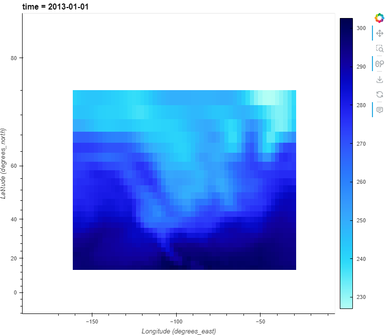
I want to create a map with features such as coastlines, borders, states/provinces, and lakes. A few months ago, I was using gv.operation.resample_geometry on those features and it worked perfectly with my maps. However, at one point a few weeks ago, with more recent versions of geoviews/holoviews, it stopped working.
I only have this problem when I use a projection (in this case crs.GOOGLE_MERCATOR) and rasterize=True, but when I do, as soon as I move around or zoom in the map, the features disappear.
import geoviews as gv
import hvplot.xarray
import xarray as xr
from cartopy import crs

xr_ds = xr.tutorial.open_dataset("air_temperature").load().isel(time=0)

plot = xr_ds.hvplot.quadmesh(
    project=True,
    geo=True,
    rasterize=True,
    projection=crs.GOOGLE_MERCATOR,
)

feature = gv.operation.resample_geometry(gv.feature.coastline.geoms("10m")).opts(
    line_color="black"
)

plot * feature
- Holoviews: 1.17.1
- Geoviews: 1.10.1
- HvPlot: 0.8.4
- DataShader: 0.15.2
The map after zooming in:
Is it something I’m doing wrong, or is it a problem with resample_geometry?
