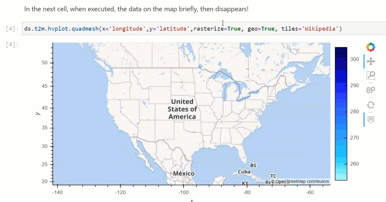
With this simple reproducible notebook example, the data appears briefly on the map and then disappears:
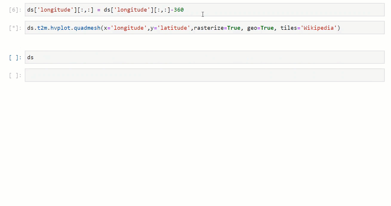
If I subtract 360 from longitude to move from the convention of [0,360] to the convention of [-180,180], things work as expected (except the hover is broken):
Here’s the reproducible notebook: https://nbviewer.jupyter.org/gist/rsignell-usgs/5e205906525f0cb7951b70608c6fed11
(oddly enough, in the rendered HTML version here, the data appears on the map that was blank in the live notebook. Is that a clue?)
I’m not sure what the relevant packages are, but this env has versions:
# Name                    Version                   Build  Channel
geoviews-core             1.8.1                      py_0    conda-forge
holoviews                 1.13.4             pyh9f0ad1d_0    conda-forge
hvplot                    0.6.0              pyh9f0ad1d_0    conda-forge
proj                      7.1.0                h966b41f_1    conda-forge
pyproj                    2.6.1.post1      py37hb5dadc3_1    conda-forge
bokeh                     2.2.1            py37hc8dfbb8_0    conda-forge